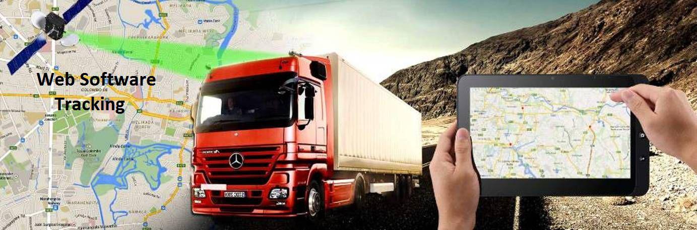
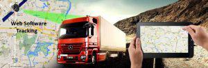
Fleet Management
You are in another company and pay expensive? Try our innovative application completely free for seven days even if you buy from elsewhere on your device because we have the best rates !
Support global maps Google maps, Bing Maps, Yandex, OSM
Apokonisi circulatory movement in the streets.
The access / PC with any Browser and from any mobile phone and tablet
Map display across the screen.
Monitoring all vehicles simultaneously in real time.
Representation routes in video format.
Nomenclature and numbering of roads in real time during the transit of vehicles.
Display all the routes on the map per vehicle separately
Ability to create sub-accounts from the administrator so that any user can manage and monitor only the vehicles for which they are authorized.
Ability to create groups for separation based vehicle object, area, or part for easier monitoring.
Paths, speed and stop overspending with all their details.
print and export capability in pdf file or Excel.
Show real-time status of all vehicles on the specific time on one screen (which is in motion or is stationary)
You will know if the camera is on or off
Display Dynamic graphs with the sensor values (Gasoline, temperatures, on-off machine, etc.).
insertion mounting possibility POI on customers, suppliers, etc. to be displayed in the map and references to take in relation to them.
Define areas where either allowed or the movement of vehicles is prohibited. These areas may be defined by a circle, square or polygon.
Notification by sms or email when a speeding which has been designated and traffic violations zones and geographical regions.
Filtering routes petitions attitudes.
Real-time monitoring of the fuel level (tank) consumption / fillings
Ability to record an indication of vehicle speed violations.
Setting the speed limit per vehicle.
Report Driver driving behavior (sudden start – sudden braking – sharp bend)
Possibility of when traffic data and send immediately restore lost communication, storage.